Welcome to our new school capacity data collection, analysis and presentation software based on the DfE's Building Bulletin 103 and 104
Features

Location Plans
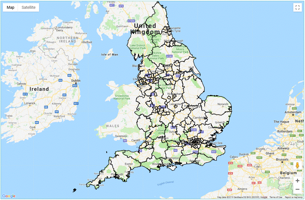
National, regional, planning area and local level plans showing location of schools within the user clusters.
Displayed as both map and satellite images along with street view and 3D imagery.
Floor Plans
Floor plans are uploaded and scaled to the correct size for each block and their respective floors.
These are overlaid on aerial images to ensure that the uploaded plans cover all areas of the school being surveyed.

Heat Maps
Room outline vectors are drawn within the software and allocated against the room types and uses defined by the Building Bulletins.
Areas for the rooms are either automatically calculated from the drawn vectors or from imported CSV room lists.
External Areas
The external areas are also drawn as vectors and assigned to the different type of spaces as defined by the Building Bulletins.
Areas are calculated automatically from the outlines that are drawn and compared to the DfE's space standards which are calculated for both the current Number on Roll and defined Publish Admission Number for the school. This information is presented as graphs and data tables.


Internal Areas
The number and total area of each of the room types and room uses are calculated from the vectors which are drawn for each floor of each block on the school site.
These are compared to both the current Number on Roll and Published Admission Number for the school. This information is presented as graphs and data tables.
Potential Pupils
From the comparison between the actual areas and those defined by the building bulletin formula, the potential number of pupils that the school can cater for is established.
This information is compared to the Published Admission Number and either the potential additional pupils or over capacity of pupils is identified.


Summary Charts
All of the information presented within the individual school reports are summarised to a primary/secondary/special level across the user clusters.
This shows the information graphically with each of the schools presented alongside each other with comparisons against the current Number on Roll and Published Admission Number for both area (m2) and pupil numbers.
Summary Maps
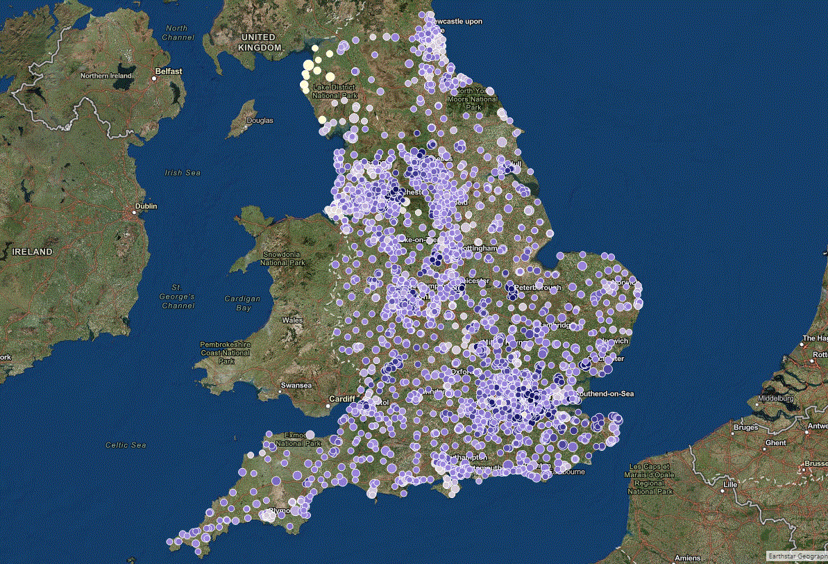
The information is summarised in interactive maps that at a high level show the schools as dots on a map. These are coloured to reflect the future projected pupil place demand, the size of the circle shows the potential additional capacity identified at the school.
When zooming into the site, the circle will automatically be replaced with the outline of the school site, which defines it's boundaries. By clicking on the school a tooltips box will appear that provides summary data and also a link to view the detailed school report.

About Us
1st Planner was established in October 2011 by it's founder Rob Tozer, after a 13-year career working in Project and Planning Management for Main Contractors across the country; predominantly in the education sector. As a passionate devotee to lean construction, he is a serial developer of processes, systems and tools that eradicate waste and drive the construction process in order to finish projects quickly and efficiently to increase profit margins.
Prior to establishing 1st Planner, Rob was recruited by Lend Lease to manage the delivery planning of the Birmingham BSF schools programme; where he developed and implemented integrated programmes, project controls and automated progress reporting tools across the scheme. As soon as 1st Planner was incorporated, Birmingham City Council approached Rob to work "Client-side" to drive savings across the Additional Primary Places Programme.
Very quickly it was realised that there was a huge amount of capacity within the existing mainstream school estate across the city over and above the Published Admission Number (PAN) identified within the Net Capacity Assessments (NCA) for the primary and secondary schools. Conversely, special schools were overcrowded, however without any established Net Capacity for high needs setting this could only be established by comparing the existing space against the DfE's Building Bulletin 102, which in recent years has been updated to BB104.
Over the last 6 years 1st Planner has been continually developing sophisticated sufficiency assessment tools against the DfE's BB103 and BB104, which function as combined data collection, analysis and reporting tools. Throughout the last 3 years, we have invested heavily in the development of the Planit-Education web-app that will allow for 3rd parties to use the tools that we have developed in an efficient and intuitive manner.
Currently Planit's main application is sufficiency assessment, however additional modules are currently in development that will add the following elements to the system over the coming year:
-
Timetable Analysis (Space and Staffing Efficiency)
-
Funding Identification (Basic Need/Section 106 Developer Contributions)
-
Options Appraisals
-
Clustered Development Planning


.png)

